GIS software is expensive, complicated to install, and hard to find data
From theses, research, to business decisions. Spatial data analysis made simple, fast, affordable, and powered by AI tools.

Trusted by leading organizations and companies













GIS software is expensive, complicated to install, and hard to find data

Need quick insights, but manual analysis takes too much time

Hesitant to invest in costly tools without clear ROI

Difficult to find a platform that can perform spatial analysis, provide data, conduct spatial surveys, determine optimal locations, and deliver basemaps in one accessible and affordable ecosystem.
MAPID Personal License combines spatial analysis, data access, field surveys, site selection, and basemaps all in a simple, affordable, and AI-powered ecosystem.
Access premium data. From demographics to thematic data such as Nighttime Light


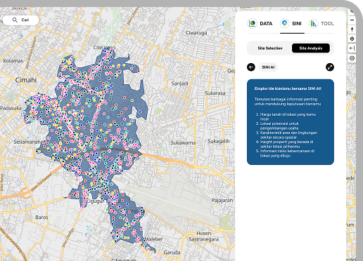
Get instant insights with SINI AI. From editing layers, creating charts, to data prediction
100++ Data
Government
Retail
100++ Data
Manufacturing
100++ Data
Transportation
100++ Data
Agriculture
100++ Data
Government
100++ Data
Retail
100++ Data
Manufacturing
100++ Data
Transportation
100++ Data
Agriculture
100++ Data
Health
100++ Data
Social
100++ Data
Consumer Goods
100++ Data
Environment
100++ Data
Health
100++ Data
Social
100++ Data
Consumer Goods
100++ Data
Environment
100++ Data
IT & Services
100++ Data
Tourism
100++ Data
Energy
100++ Data
Real Estate
100++ Data
IT & Services
100++ Data
Tourism
100++ Data
Energy
100++ Data
Real Estate
100++ Data
Everything you need for modern spatial analysis, all connected in one ecosystem
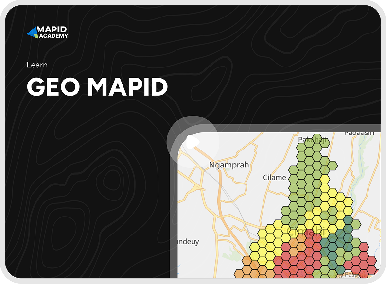
A cloud-based location analytics platform for faster and easier spatial data visualization and processing
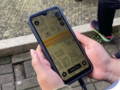
Turn field data into instant maps with FORM MAPID
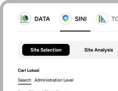
A quick way to find the best location. Compare and evaluate multiple sites quickly using data-driven assessments.
AI that works directly with your data. From editing layers, creating charts, to projecting spatial trends
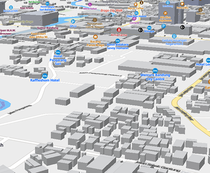
Interactive base maps and ready-to-use APIs. Perfect for WebGIS, reports, or integration into your projects.
From students to business professionals, MAPID helps you transform spatial data into actionable insights.
Complete your thesis or research faster with ready-to-use data and instant visualization.

Collect field data more easily, analyze in real-time, and make more accurate decisions.

Get insights without coding and spatial trend projections ready to share with clients.

Find the best locations for expansion and make data-driven decisions.


Retail & F&B

Disaster & Environment

Property

Finance

Smart City

Transportation

Agriculture

Logistics

Telecommunication

And Many More

For individuals, researchers, and professionals.
Map & Dashboard Editor
Viewer Dashboard
FORM MAPID (Survey data feature)
Access to premium data
Basemap Access
Layer Styling
Data Cleansing
Graphic Generation
Data Projection
Brain Storming
Site Analysis Tools
Site Selection Tools
For team collaboration and small businesses.
Basic Plan Include
All Personal features
Includes SINI AI & SINI DATA
Team Management & Collaboration (up to 10 users)
Collaborator
Custom solutions for large companies.
Everything in Basic Plan
All Teams features
On-Premise Services
API Integration & Dedicated Development
Dedicated Data Engineer
All Add-ons Included
SINI DATA (Site Analysis & Selection Tools)
SINI AI (Complete AI suite with all features)
Advanced Enterprise Features
Every enterprise has unique needs and objectives. We understand that your organization requires specialized features, custom data processing and integrations that standard plans cannot provide
We can tailor special features and plans speciafically for you