GEO MAPID Learning Hub
Step-by-step tutorials that help anyone build visualizations, collect data, and unlock powerful spatial insights.
Learn
GEO MAPID

Choose your background to get started

More Tutorials
What you will learn
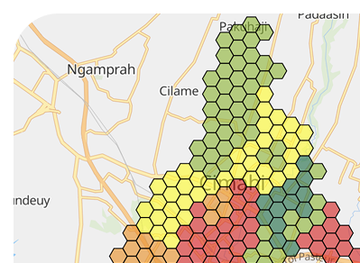
Turn Data into Insights
Use the GEO MAPID toolbox, spatial analysis methods such as Site Selection, Site Analysis, and SINI AI to discover patterns, compare scenarios, and make smarter decisions.
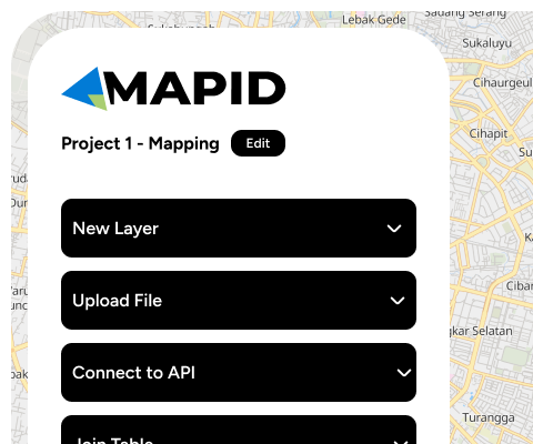
Build Maps with Ease
Create a project, digitize features, style layers, import/join data, then share your map
Unlock New Skills and Certification
Complete lessons and a capstone project to earn an official certificate showcasing your new spatial skills
Collect & Integrate Field Data
Design surveys and bring the results directly into your map
Skills applicable across industries
Skills from GEO MAPID tutorials are practical and versatile. Use them in research, business, or community initiatives to improve decision-making quality.

Retail & F&B

Climate & Disasters

Property

Finance

Smart Cities

Transportation

Agriculture

Logistics

Telecommunications

And more